
Executive Summary
The seabed is one of the world’s largest historical archives. It contains thousands of warships, merchant vessels, aircraft, drowned settlements, ancient ports, and cargoes that never reached their destinations. Yet much of this history remains hidden beneath sediment, marine growth and dark water.
High-resolution sonar has changed how marine archaeologists search for and document these sites. Multibeam echo sounders, side-scan sonar, synthetic aperture sonar and sub-bottom profilers can now reveal archaeological features with remarkable detail. The real breakthrough, however, is not simply better imagery. It is the ability to map a site accurately, return to it repeatedly and understand how it changes over time.
Marine archaeology is no longer only about divers finding shipwrecks. It is becoming a sophisticated subsea survey discipline.
When Archaeology Appeared on My Sonar Screen
When I worked as VP Asia Pacific at Teledyne Marine in Singapore, I received an unusual request from the archaeology department at Beijing University.
They were looking for a high-resolution multibeam echo sounder for underwater archaeological work, the SeaBat 7125.
It was the first high-resolution multibeam sonar I sold specifically for underwater archaeology, and the project changed how I viewed the application.

Until that moment, most of my multibeam discussions had centered on hydrography, port development, dredging, offshore construction, and naval applications. This customer was different. They were not looking for navigational hazards, calculating dredging volumes, or inspecting subsea infrastructure. They wanted to examine the past.
Around the same time, William Wilson, a marine geophysical archaeologist, who encouraged me to apply my sonar experience to write about underwater archaeology contacted me. I also worked with my friend Dr. Pete Ramsay, who has done a lot of underwater archaeology and wreck survey.
The technology was familiar, but the mission was new.
Instead of surveying a channel, the task might be to map an ancient harbor. Instead of locating a pipeline, it could involve searching for the remains of a wooden vessel. Instead of inspecting concrete foundations, the objective might be to document structures built hundreds or even thousands of years ago.
The same acoustic principles still applied. The difference was in the questions being asked, and in the historical significance of the answers.
The Seabed Is Not a Museum Display
Finding an archaeological site underwater is rarely as clean as it looks in documentaries.
Visibility may be measured in centimeters. Currents can make diving dangerous. Sediment may cover most of the structure. Fishing gear, anchors, construction work and seabed movement can damage a site before anyone understands what is there.
A diver sees only a small area at a time. Sonar provides context.
A high-resolution multibeam echo sounder (MBES) produces a detailed three-dimensional model (DTM) of the seabed and any structure rising above it. Archaeologists can measure the dimensions of a wreck, examine its orientation, identify collapsed sections and understand its relationship with the surrounding terrain.
This is where resolution matters.
A low-resolution system may show that an object exists. A high-resolution system can begin to show what that object is.
That difference can determine whether a target is dismissed as seabed clutter or investigated as a historically important site.
One Sonar Is Never the Complete Answer
Multibeam sonar provides accurate bathymetry and three-dimensional geometry, but marine archaeology benefits from combining several sensors.

Side-scan sonar is highly effective for searching large areas and detecting objects that stand proud of the seabed. Its acoustic shadows can reveal masts, hull sections, anchors, cannons and scattered debris. I tried to illustrate some interesting sidescan images below.

Synthetic aperture sonar takes this further by producing consistent, very high-resolution imagery over a wider area. Mounted on an AUV, it can search close to the seabed while maintaining stable geometry and predictable image quality.
A sub-bottom profiler examines what may be buried beneath the sediment. This is critical because many wooden wrecks and ancient structures are partly or completely covered. What appears to be an empty seabed may contain an archaeological site just below the surface.

Once a target is located, cameras, ROVs, divers and photogrammetry can provide identification and visual documentation.

Sonar does not replace the archaeologist. It gives the archaeologist a much better place to start.
Archaeology Is Becoming Autonomous
The arrival of AUVs and compact USVs is changing the economics of underwater archaeological surveys.
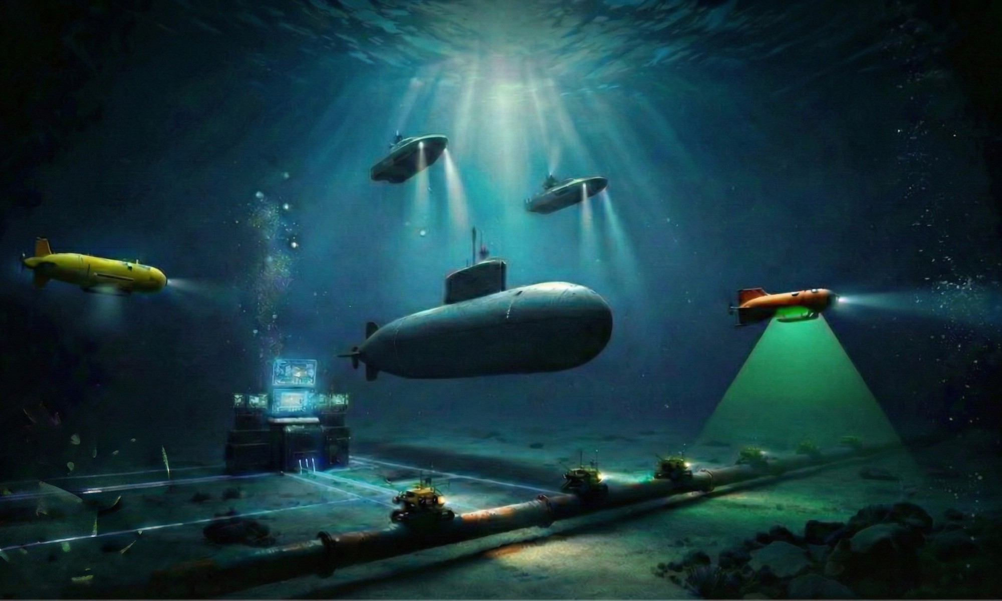
An AUV can follow the seabed at a controlled altitude while carrying side-scan sonar, synthetic aperture sonar, multibeam sonar and sub-bottom profiling equipment. A USV can perform repeatable surveys without placing a full crewed vessel over the site.

This allows archaeologists to cover larger areas, work in deeper water and return to known sites using the same survey lines.
Repeat surveys are especially important. A wreck is not frozen in time. Currents move sediment. Trawling equipment causes damage. Timber collapses. Objects disappear.
A detailed sonar survey creates a measurable baseline. A later survey can show what changed.
That turns sonar from a discovery tool into a conservation tool.
The Provocative Part
Marine archaeology is sometimes treated as a niche academic activity. That view is outdated.
These surveys improve our understanding of maritime trade, warfare, migration, shipbuilding and coastal development. The same technologies also support hydrography, offshore infrastructure inspection, environmental monitoring and seabed security.
The technology already exists. The greater challenge is often selecting the right sensor, platform, frequency and survey method for the archaeological objective.
Buying an expensive sonar without defining the mission is not a strategy. It is simply an expensive way to collect the wrong data.
Summary
High-resolution sonar has changed marine archaeology by allowing researchers to detect, map and monitor underwater sites at a scale that divers alone could never achieve.
Multibeam sonar provides geometry. Side-scan and synthetic aperture sonar reveal seabed features. Sub-bottom profilers expose buried history. AUVs and USVs make surveys more repeatable, persistent and practical.
The seabed remembers. The question is whether we have the right systems, survey design and experience to read what it is telling us.
Call to Action
At Strategic Sonar Solutions Inc., I help customers match sonar technology, autonomous platforms and survey methods to the actual mission.
Whether the objective is underwater archaeology, hydrography, port security, critical infrastructure protection or seabed mapping, the process must begin with the operational requirement. The sensor specification comes next.
If your organization is planning a marine archaeological survey or evaluating high-resolution sonar, let us start with the most important question:
What are you really trying to discover?
Originally published in the Strategic Pings ))) newsletter on LinkedIn on 2026-08-04. Subscribe there to get new editions first.