
Executive Summary
A patch of blue on a map is an excellent way to make an information gap look reassuring.
My background in hydrography, including my work with RESON and Teledyne, has made me rather less reassured. Beneath that blue are mountains, channels, habitats and hazards that influence real decisions. Understanding this underwater landscape matters deeply to me.
As of April 2026, 28.7% of the world’s ocean floor had been mapped to modern standards. We are planning the ocean’s future with most of its geography still missing from the detailed picture.

Seabed 2030 gives us a shared ambition: a complete, freely available seabed map. Delivering it requires funding, coordination, technical expertise, and access to existing data.
Hydrography asks a wonderfully uncomfortable question: How do you actually know what is beneath you?
Eventually, someone has to produce the measurements. A beautifully rendered digital ocean will only get you so far.
The Nippon Foundation–GEBCO Seabed 2030 Project launched in 2017, when only 6% of the seabed was mapped to adequate resolution. The progress deserves recognition.
But progress and sufficient progress are different things.
Coverage increased from 27.3% in 2025 to 28.7% in 2026, adding almost five million square kilometers. An enormous contribution—and just 1.4 percentage points against the global task.
At that annual rate, closing the remaining gap would take roughly 51 years. That is simple arithmetic, not a forecast: investment, technology, and the release of existing datasets could substantially change the pace.
2030 needs a serious acceleration plan behind it.
One obstacle is that many people assume the job is already done.
Open a digital globe and the ocean floor looks complete. Ridges, trenches, contours: very convincing. Across vast areas, however, that picture relies on low-resolution estimates derived from satellite data rather than detailed seabed measurements.

An attractive color palette is doing a remarkable amount of work.
For readers outside hydrography, a multibeam echo sounder measures returning sound across a broad strip beneath a vessel, building a picture of depth and terrain. Bringing sensors closer to the seabed, including aboard autonomous underwater vehicles, can reveal finer detail in deep water.
The principle is straightforward. Reliable results take expertise.
Position, vessel motion, sound speed, and calibration all matter. The seabed has declined to rearrange itself to match our assumptions.
We also need to be precise about “mapped.” Seabed 2030’s target grid-cell sizes range from 100 meters in shallower waters to 800 meters in the deepest ocean. Individual engineering and inspection tasks require their own survey specifications.
GEBCO explicitly states that its grids must not be used for navigation or other purposes involving safety at sea.
A global map is a foundation. Understanding its limitations is part of using it intelligently.
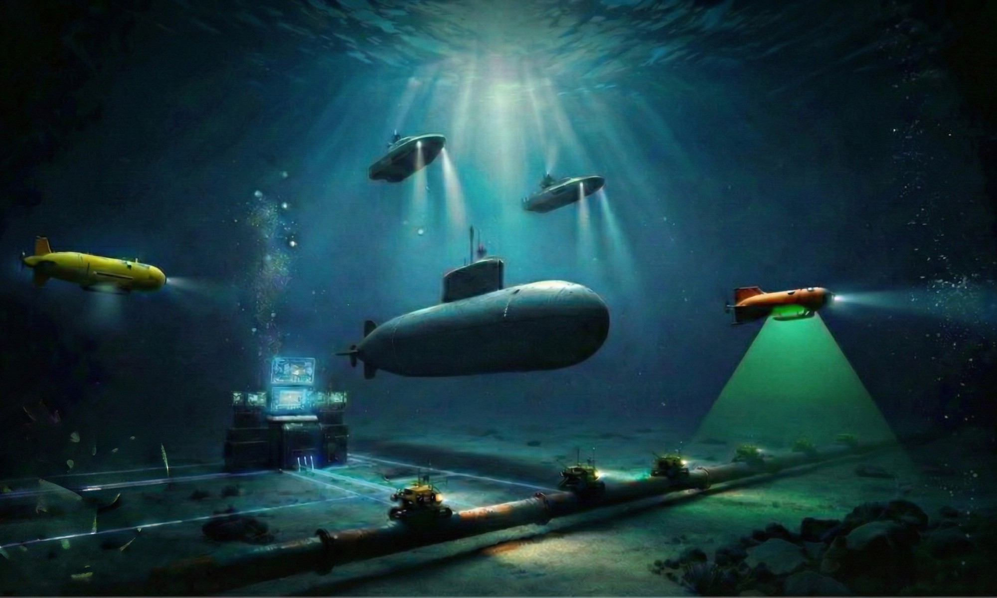
Autonomy can expand our mapping capacity. Uncrewed surface vessels carry survey systems across extensive areas, while underwater vehicles bring sensors closer to terrain requiring detailed investigation.
But removing the crew does not remove the need for hydrographic competence.
Someone must plan the survey, integrate the sensors, validate the measurements, and deliver usable information. My preferred measure of success is the cost of delivering a square kilometer of usable, quality-controlled coverage.
Less glamorous than unveiling another autonomous vessel. Considerably more useful when discussing the budget.
There is also valuable information sitting in archives. Some gaps in the global compilation reflect measurements already collected but not contributed. Seabed 2030 seeks these datasets and encourages reduced-resolution sharing where commercial sensitivities are involved.
Summary
Before commissioning another survey, check what someone already knows.
Organizations can take three practical steps:
Review existing datasets: establish ownership, permissions and potential value to the global map.Plan contributions into new surveys: agree on sharing arrangements while teams and budgets are in place.Fund expertise alongside equipment: skilled people turn sensor output into information others can trust.

Seabed knowledge supports ocean circulation research, tsunami modelling, environmental management, and cable routing. Its value extends far beyond our industry.
For me, Seabed 2030 is a professional responsibility with a personal connection. My work with RESON and Teledyne is part of why I care about turning acoustic measurements into useful knowledge.
We have capable technology. Closing the gaps requires sustained investment, shared data and people who understand the mission.
At Strategic Sonar Solution Inc., I help clients define sonar requirements, evaluate technologies and plan sensor integration for conventional and autonomous platforms. Contact me to discuss your survey ambitions, assess your options, and build a practical path from operational need to reliable seabed information.
Scanning the depths so you don’t sail blind.
Originally published in the Strategic Pings ))) newsletter on LinkedIn on 2026-09-21. Subscribe there to get new editions first.